History, culture and heritage
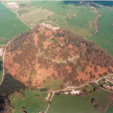
Six thousand years of human activity have shaped the Cheshire Sandstone Ridge. Evidence of the earliest human occupation can be found on the ridge-top, where the topography has been exploited for centuries, as evidenced by the remains of Iron Age hillforts, burial mounds, ring ditches and castles, and finds of earlier stone tools. The fortifications along the ridgetop were linked by an ancient track which today has become the long-distance Sandstone Trail. More recent communications include a Roman road which crosses the area en route to Manchester from Chester.
The medieval Royal Forest of Delamere, in the north of the area, covered a vast area of Cheshire and was used for hunting, especially deer. The late medieval period was most important for the management of hunting and commercial forests in this area, establishing the dispersed settlement pattern of scattered farms and small villages that we see today, mostly of medieval origin. Red brick is the dominant building material, together with some local sandstone and timber-frame buildings.
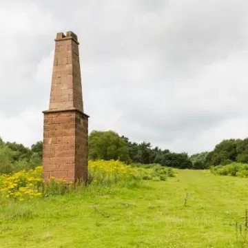
Evidence of former extractive industries remains visible in the landscape, with numerous small sandstone quarries. Look carefully, and you may discover ancient rock art and graffiti carved into their surfaces. The remains of an engine house chimney in the south of the area at Bickerton Hill marks the former coppermine that worked intermittently from around 1690 to the 1920s. Quarried sandstone from the Ridge has been used extensively in the construction of local buildings and boundary walls adding a distinctive architecture and colour to the area.
Click here to read our paper on 'Non-Designated Heritage Assets'.
Read some of our sample heritage stories about the Ridge below, together with our 'Footprints on the Ridge' section:
The Elephant and Castle – A Peckforton Curiosity
A Family of Master Stonemasons from The Ridge
Bickerton Coppermine
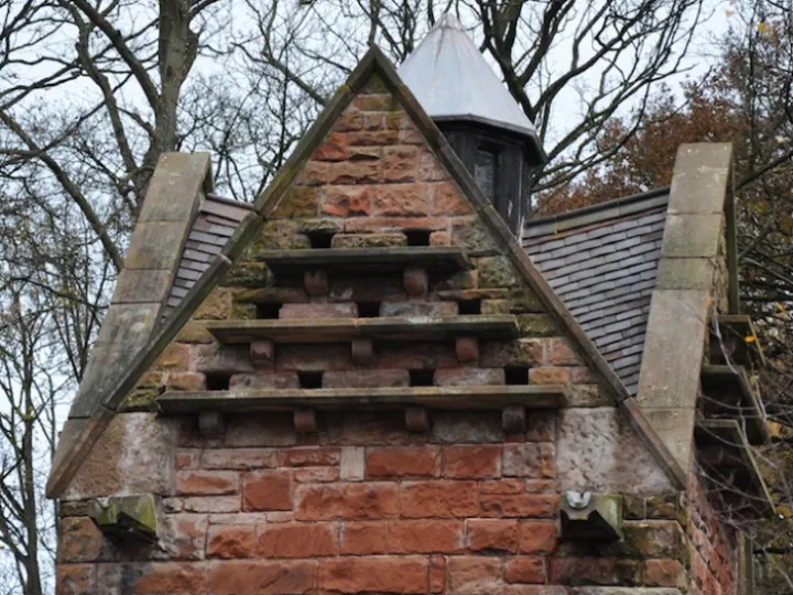
The Peckforton Estate Dovecote – A Hidden Gem
JMW TURNER and The Sandstone Ridge
In Celebration of the Humble Triangulation Pillar
Footprints on the Ridge
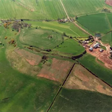
Learn more about the archaeology of the six prehistoric hillforts that line the Sandstone Ridge by downloading our leaflets:
The Archaeology of Helsby Hill
The Archaeology of Woodhouse Hill
The Archaeology of Kelsborrow Castle
The Archaeology of Eddisbury Hill
The Archaeology of Beeston Crag
The Archaeology of Maiden Castle
Use the interactive map below to find the 700 sites of old quarries, wells, graffiti and rock carvings found by volunteers during the Ridge: Rocks and Springs Project .
The spread sheet (.xml file) used to generate the distribution map, containing the records produced by the RRS volunteers as part of the Stage One survey is available to download from here .

Sandstone Ridge Trust
Registered Company No. 7673603
Registered Charity No. 1144470
info@sandstoneridge.org.uk
