Sunny Start for Events!
A sunny start to our events (hooray)!
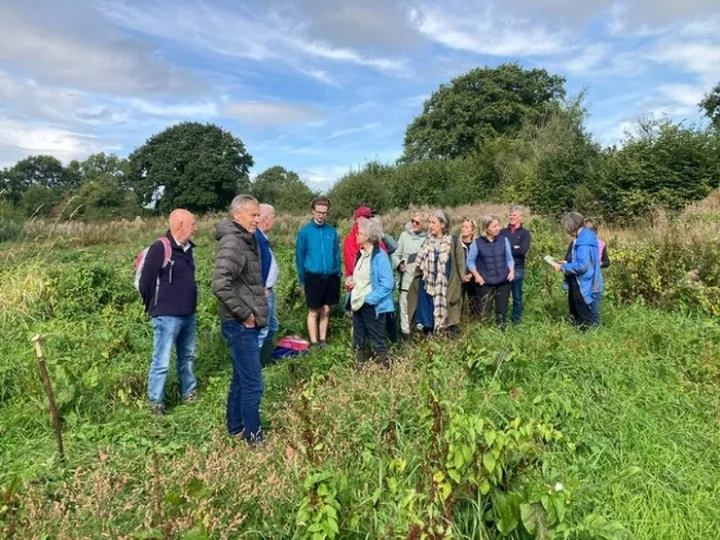
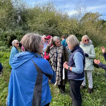
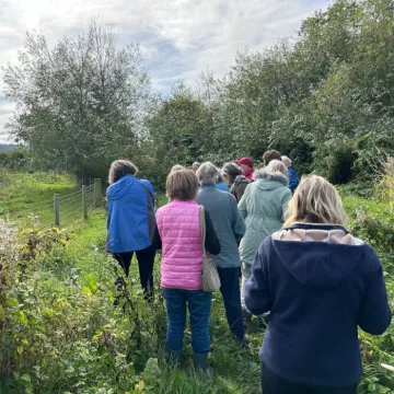
Event 1 took a look at developments relating to the natural flood management programme which 'slows the flow' of the Mill Brook in Tattenhall.
Tattenhall is an identified 'community at flood risk' with 22 properties located in fluvial Flood Zones 2 and 3; areas which can result in flooding when a river's water level rises above its banks. Severe flooding episodes occurred in the heart of the village in November 2000 and January 2021.
At our last Festival, Andrew Hull, Chair of the Sandstone Ridge Trust (SRT) and a member of Tattenhall Wildlife Group, led visitors through Phase 1 of the Project which in 2016 created a series of retention ponds to literally 'slow the flow' of the Mill Brook upstream. These continue to function and the ponds and reedbeds are now wildlife havens.
Since then, further collaborative work with partners of the SRT, has resulted in yet more work upstream (Phase 2A) where natural flood water storage areas have been created. A series of seepage barriers and earthwork bunds at China Meadow have the capacity to hold back 4,500 cubic metres of water! With continuing storms and saturated ground, the Environment Agency continue to monitor this project and regularly confirm that without this management programme, the centre of the village would continue to flood (ironically with the sun shining there was no surface water at all).
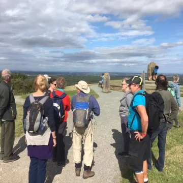
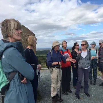
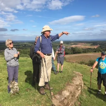
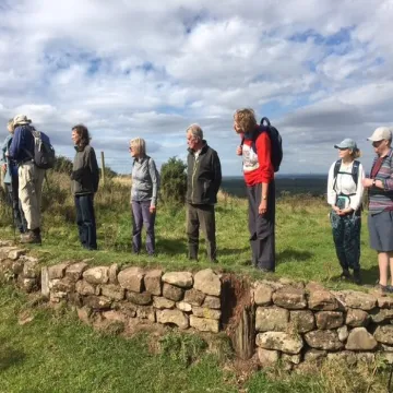
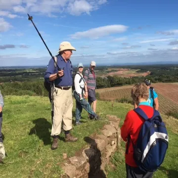
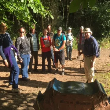
Event 2 saw walkers take on the challenge of 4 different venues during the afternoon, walking to Old Pale Heights, climbing up to Eddisbury Hillfort (mud and all), returning along the route of Watling Street, the old Roman Road, and then passing the fantastic outcrop of sandstone at The King's Chair, the site of medieval quarrying.
Peter Winn, also a Trustee of the SRT, enthusiastically shared his extensive knowledge of the area.
We were taken back to the teams of men required to hew the stone from the extensive quarries and the sheer difficulties experienced in transporting the stone to the point of need.
We saw the ancient stone walling of the original boundary of the Old Pale (enclosure) which had been created within the medieval hunting forest at Delamere back in the 14th century.
At Old Pale Heights, the panoramic view was breathtaking with everyone identifying the seven counties and examining the seven standing stones, all of which have been cut from the local stone of those counties. Importantly, however, Peter shared the history of mapping and its significance because this area is also the home of the Delamere Meridian and Trig Point from which early maps were surveyed.
We skirted the ramparts (well almost) of the Iron Age Hillfort at Eddisbury; a huge hilltop enclosure which occupies a sandstone plateau and which boasts a pretty impressive reconstructed gateway entrance and some very useful interpretation panels – the Hillfort is listed on the National Heritage List for England.
Our thanks to everyone and to all Trustees who led and supported the events – enjoy the photographs – click on each to enlarge!
Funded by the UK Shared Prosperity Fund

Sandstone Ridge Trust
Registered Company No. 7673603
Registered Charity No. 1144470
info@sandstoneridge.org.uk

