
Historic England announce new Mapping Tool
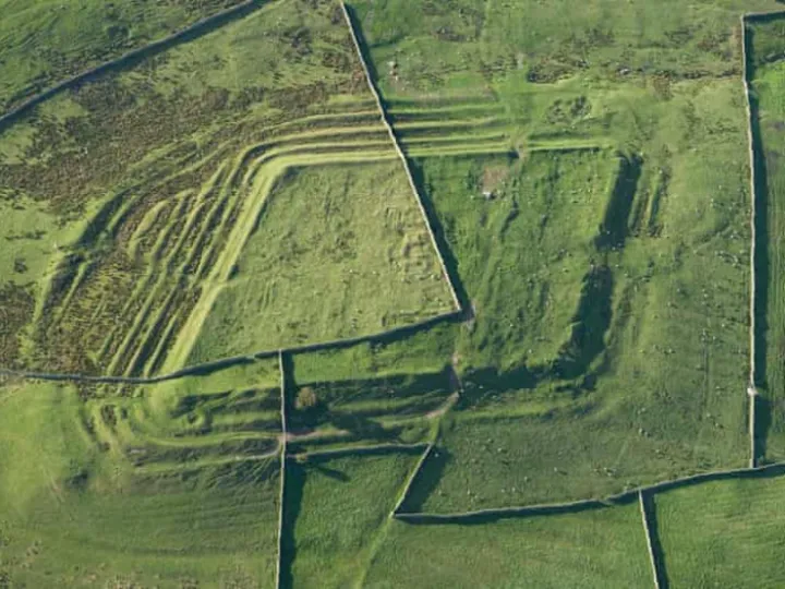
A digital aerial archaeology tool will allow people to discover previously unknown details about local landscapes, including prehistoric hill forts – something we have right here on the Cheshire Sandstone Ridge – through virtual flights over England.
'This new aerial archaeological mapping tool lets people fly virtually over England and drink in its many layers of history,' said Duncan Wilson, chief executive of Historic England.
'It will allow everyone to explore the hidden heritage of their local places and what makes them special. We hope it will give people a springboard to further investigation, whether for research purposes or simply to satisfy curiosity.'
Very exciting!
To read more CLICK HERE. You will also be able to determine exactly which areas have been examined so far.

Sandstone Ridge Trust
Registered Company No. 7673603
Registered Charity No. 1144470
info@sandstoneridge.org.uk