
Flood Defences In Action
Many of you will know that the Mill Brook rises in Harthill on the Cheshire Sandstone Ridge and flows towards the centre of Tattenhall; an area which has suffered major floods in the most recent past.
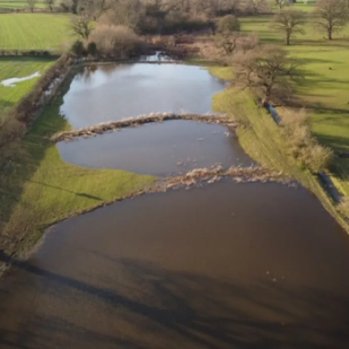
The Phase 2A flood mitigation measures undertaken on and adjacent to Mill Brook at China Meadow were completed in the early summer of 2021.
At that time, David Brown, Senior Flood Risk Management Advisor with the Environment Agency, said:
'The commitment of multiple agencies to work together and explore nature based solutions alongside traditional flood defences, is a powerful component of our response to the Climate Emergency'.
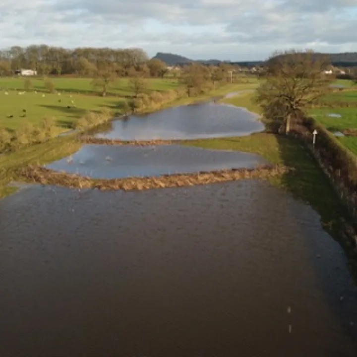
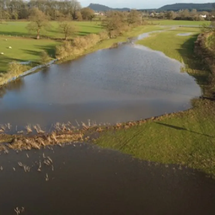
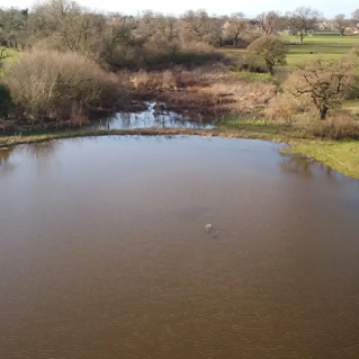
Three earthwork bunds, appropriate drainage systems, seepage barriers and associate landscaping, complemented the Phase 1 works (completed in 2016).
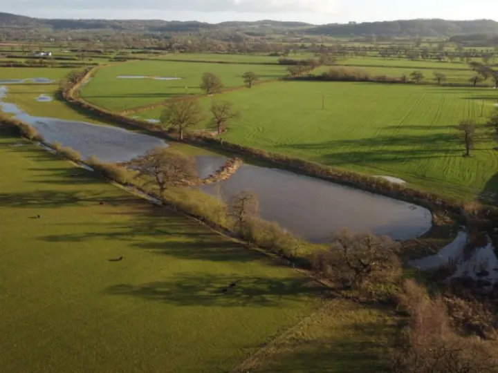
For information, Phase 2A has the capacity to hold up to 4,500 cubic metres of water upstream of the village of Tattenhall.
This is in addition to the 1,000 cubic metres which is slowed in the Phase 1 works.
On what was a glorious afternoon this week, TWiG (Tattenhall Wildlife Group) took some excellent drone images which give visual clarity to the enormous body of water which is being slowed en-route to Tattenhall and beyond.
Particular thanks to our partners at:
Bolesworth Estate
The Environment Agency
ELM Associates
TWiG
Mersey Forest and, of course, with support from
The Local Farmer Network (particularly Robin Langford, tenant farmer)
Our thanks to TWiG for the images.

Sandstone Ridge Trust
Registered Company No. 7673603
Registered Charity No. 1144470
info@sandstoneridge.org.uk