
Landscape
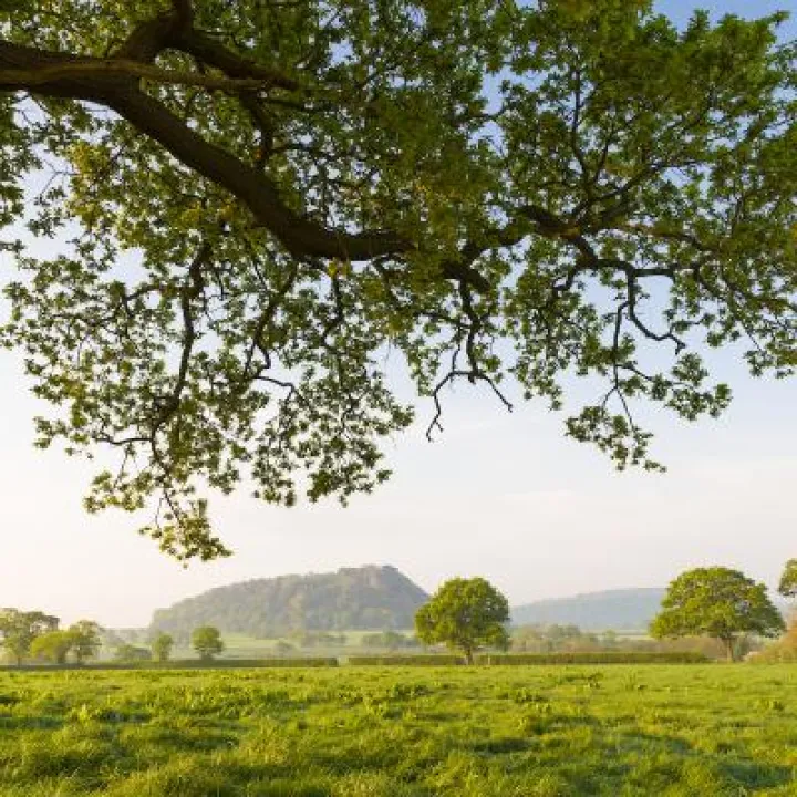
For a county traditionally associated with the flat expanse of the Cheshire Plain, the elevated heights of the mid-Cheshire Sandstone Ridge may come as something of a surprise for some. Climbing up to a high point on one of its many hills presents breathtaking opportunities to enjoy panoramic views stretching out into the distance to all four points of the compass: north across the broad Mersey Estuary, south to the Shropshire Hills, east to the Peak District, and west to the Welsh Hills.
The views serve to provide a wider appreciation of the strong contrast in landscape character and topography between the Ridge and the surrounding plain. Whilst recognised nationally by the Government as a distinctive landscape – one of 159 National Character Areas (No. 62: Cheshire Sandstone Ridge), a recent Landscape Character Assessment for the county has highlighted that the Ridge actually comprises eight separate landscape types.
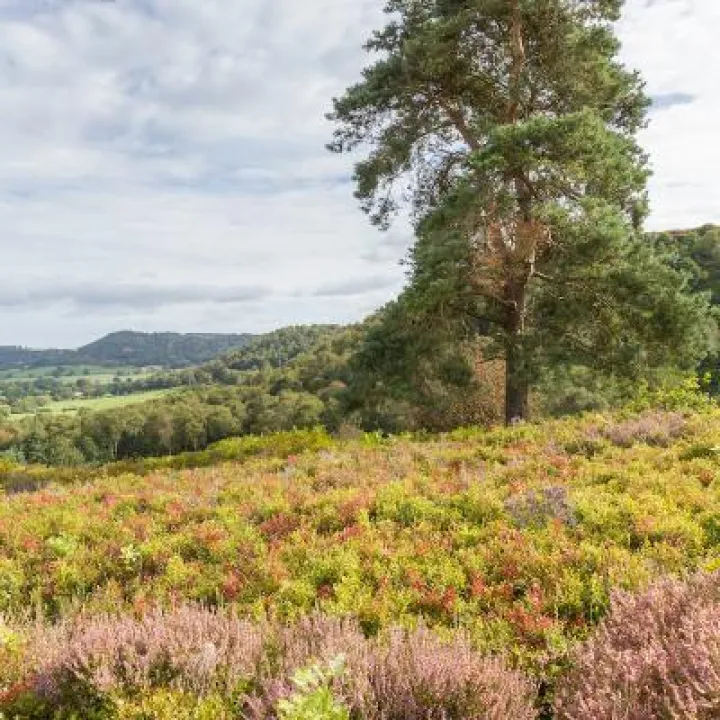
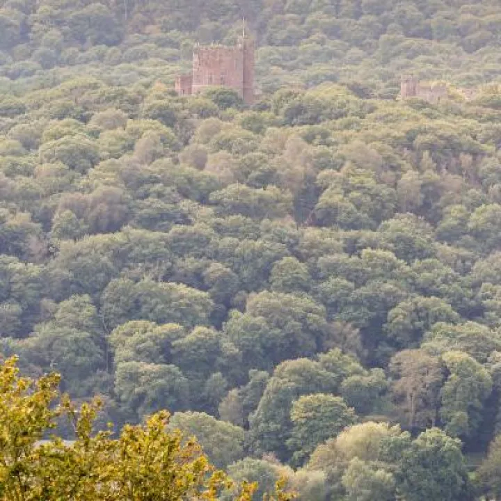
The spine of the 'Sandstone Ridge' runs roughly north-south from Helsby through Tarporley and on to Duckington for some 32 kms, emerging and dropping back down into the plain as a series of scarps and sandstone outcrops. The Ridge has a very strong cultural and natural character due to the concentration of prehistoric sites, woodland and heathland, sandstone quarries and exposures and sandstone buildings, walls and lanes.
The ridge is closely linked to the 'Sandstone Fringe' which surrounds it with its solid blocks of woodland and high hedgerows combining to provide strong enclosure, creating an impression of a small-scale verdant landscape. Elsewhere, reduced tree cover leads to a more open landscape, evident from many elevated positions.
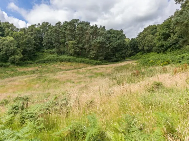
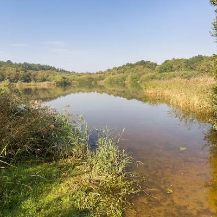
The intermediate slopes of the Ridge have been modified by ice sheets that have left a considerable thickness of glacial till. Extensive, mainly planted, woodland grows on these poor soils, interspersed with relict heath and meres and mosses formed in glacial hollows – 'Woodlands, Heaths, Meres and Mosses`. More recent water bodies have been created through the extraction of sand and gravel or the quarrying of sandstone.
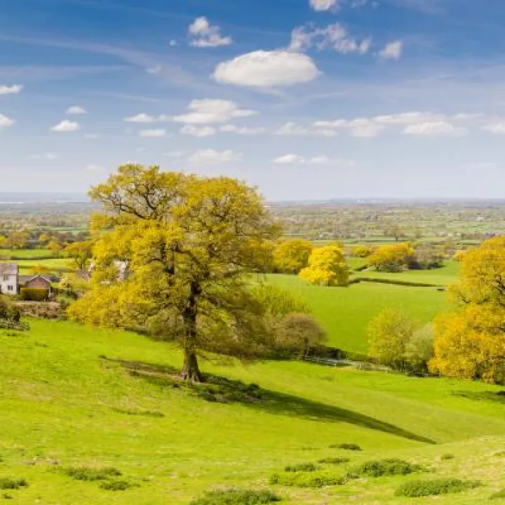
Lower down, the landscape character is defined by 'Undulating Enclosed Farmland`, with a small-medium field pattern with ponds, streams, rural villages and scattered farmsteads, grading into the 'Cheshire Plain` itself, defined by its flat or very gentle topography enclosed by hedgerows and standard trees.
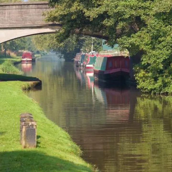
Approximately halfway along its length, the Ridge is divided in two by the east-west aligned 'Gowy Valley` – a narrow, linear and elongated river corridor landscape, characterised at this point by steep and semi-enclosed shallow valley sides within which the Shropshire Union Canal and Chester to Crewe railway line run. From this low point, the land rises either side as 'Rolling Farmland`, creating a distinctive locally hilly landscape before it joins the Ridge again to the north and south.
The special qualities of the Sandstone Ridge are recognised locally by the designation of the majority of the area as an Area of Special County Value for Landscape.
Nationally, the northern half of the Ridge around Delamere, was recognised as being of outstanding natural beauty by Government as long ago as 1947, when the area was proposed by the National Parks Committee as a Conservation Area (today's Area of Outstanding Natural Beauty – AONB). Interestingly, Delamere is the only one of the North West's proposed national parks and conservation areas in 1947 not to have been subsequently designated.

Sandstone Ridge Trust
Registered Company No. 7673603
Registered Charity No. 1144470
info@sandstoneridge.org.uk